The Old Forge
Introduction
The photograph on this page of The Old Forge by Simon Carey as part of the Geograph project.
The Geograph project started in 2005 with the aim of publishing, organising and preserving representative images for every square kilometre of Great Britain, Ireland and the Isle of Man.

There are currently over 7.5m images from over 14,400 individuals and you can help contribute to the project by visiting https://www.geograph.org.uk
The Old Forge
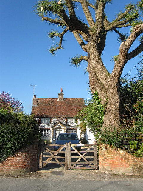
Image: © Simon Carey Taken: 27 May 2013
Located at the corner of School Lane and The Holt. The house dates from 1732 and the old smithy was once located in the north east corner of the current garden.
Images are licensed for reuse under creativecommons.org/licenses/by-sa/2.0
Image Location
Latitude
50.905316
Longitude
-0.406065