On the bridleway to Tanners Lane
Introduction
The photograph on this page of On the bridleway to Tanners Lane by Graham Horn as part of the Geograph project.
The Geograph project started in 2005 with the aim of publishing, organising and preserving representative images for every square kilometre of Great Britain, Ireland and the Isle of Man.

There are currently over 7.5m images from over 14,400 individuals and you can help contribute to the project by visiting https://www.geograph.org.uk
On the bridleway to Tanners Lane
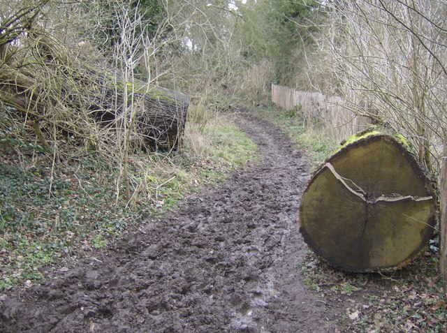
Image: © Graham Horn Taken: 24 Feb 2007
Looking north, gentle climb up past the golf course on the right. This tree would have made quite a thud when it fell. Not surprised the cut section was left pretty much in situ. The bridleways around these parts are very muddy from the recent wet weather.
Images are licensed for reuse under creativecommons.org/licenses/by-sa/2.0
Image Location
Latitude
51.486543
Longitude
-0.9823