Footpath on Old Railway Line
Introduction
The photograph on this page of Footpath on Old Railway Line by mike smith as part of the Geograph project.
The Geograph project started in 2005 with the aim of publishing, organising and preserving representative images for every square kilometre of Great Britain, Ireland and the Isle of Man.

There are currently over 7.5m images from over 14,400 individuals and you can help contribute to the project by visiting https://www.geograph.org.uk
Footpath on Old Railway Line
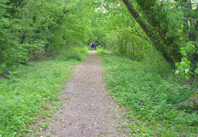
Image: © mike smith Taken: 25 May 2013
This footpath is on the former railway line that connected Alton to Winchester. The line opened in 1865 and closed in 1973. The track bed is now a footpath only for some of its distance - much is on private land.
Images are licensed for reuse under creativecommons.org/licenses/by-sa/2.0
Image Location


Leaflet Map data © OpenStreetMap
Latitude
51.094263
Longitude
-1.249974