Castle Camps: south-west from Church Lane
Introduction
The photograph on this page of Castle Camps: south-west from Church Lane by John Sutton as part of the Geograph project.
The Geograph project started in 2005 with the aim of publishing, organising and preserving representative images for every square kilometre of Great Britain, Ireland and the Isle of Man.

There are currently over 7.5m images from over 14,400 individuals and you can help contribute to the project by visiting https://www.geograph.org.uk
Castle Camps: south-west from Church Lane
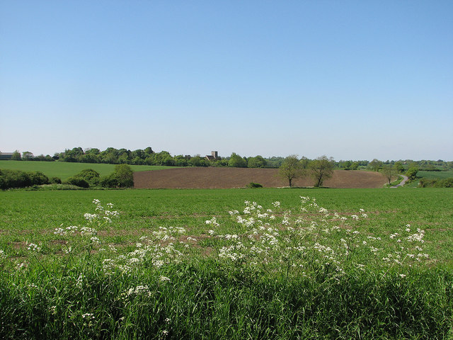
Image: © John Sutton Taken: 27 May 2013
The parish church stands on the castle site, half a mile or so south-west of the village. On the extreme right of the picture Church Lane climbs the other side of the valley of the infant River Granta.
Images are licensed for reuse under creativecommons.org/licenses/by-sa/2.0
Image Location
Latitude
52.061486
Longitude
0.376431