Power lines over Baker's Lane
Introduction
The photograph on this page of Power lines over Baker's Lane by Robin Webster as part of the Geograph project.
The Geograph project started in 2005 with the aim of publishing, organising and preserving representative images for every square kilometre of Great Britain, Ireland and the Isle of Man.

There are currently over 7.5m images from over 14,400 individuals and you can help contribute to the project by visiting https://www.geograph.org.uk
Power lines over Baker's Lane
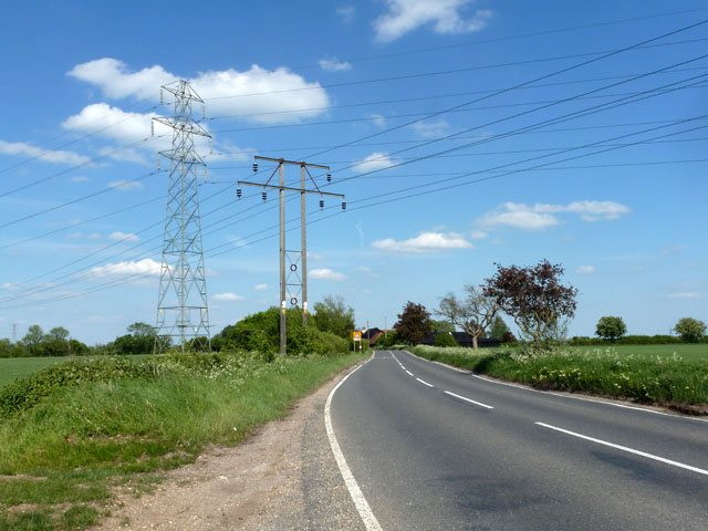
Image: © Robin Webster Taken: 27 May 2013
The twin wooden poles have good diagonal bracing to stop them canting over sideways - something sadly lacking in some other distribution areas.
Images are licensed for reuse under creativecommons.org/licenses/by-sa/2.0
Image Location
Latitude
51.85782
Longitude
0.543302