Victorian villa, Wistaston Road, Willaston
Introduction
The photograph on this page of Victorian villa, Wistaston Road, Willaston by Espresso Addict as part of the Geograph project.
The Geograph project started in 2005 with the aim of publishing, organising and preserving representative images for every square kilometre of Great Britain, Ireland and the Isle of Man.

There are currently over 7.5m images from over 14,400 individuals and you can help contribute to the project by visiting https://www.geograph.org.uk
Victorian villa, Wistaston Road, Willaston
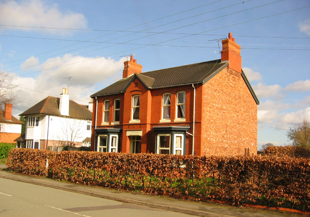
Image: © Espresso Addict Taken: 26 Feb 2007
Wistaston Road runs north-south at the eastern edge of the village of Willaston, with a mixture of housing dating from the 1870s-90s (detached villas, semis & terraces), as well as late 20th century infill (left). The substantial late-Victorian red-brick detached villa (right) is typical of the Victorian houses lining the street in the northern part of the square
Images are licensed for reuse under creativecommons.org/licenses/by-sa/2.0
Image Location
Latitude
53.071654
Longitude
-2.477713