Flood water source
Introduction
The photograph on this page of Flood water source by MDS as part of the Geograph project.
The Geograph project started in 2005 with the aim of publishing, organising and preserving representative images for every square kilometre of Great Britain, Ireland and the Isle of Man.

There are currently over 7.5m images from over 14,400 individuals and you can help contribute to the project by visiting https://www.geograph.org.uk
Flood water source
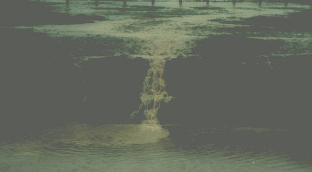
Image: © MDS Taken: Unknown
The Headwaters of the rhyne ditch. In this weather everything is a flood source and headwater to a stream ephemeral. Before 1996.
Images are licensed for reuse under creativecommons.org/licenses/by-sa/2.0
Image Location


Leaflet Map data © OpenStreetMap
Latitude
51.478522
Longitude
-2.758372