Terraces, Waringstown
Introduction
The photograph on this page of Terraces, Waringstown by Albert Bridge as part of the Geograph project.
The Geograph project started in 2005 with the aim of publishing, organising and preserving representative images for every square kilometre of Great Britain, Ireland and the Isle of Man.

There are currently over 7.5m images from over 14,400 individuals and you can help contribute to the project by visiting https://www.geograph.org.uk
Terraces, Waringstown
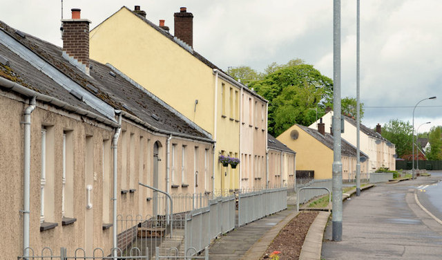
Image: © Albert Bridge Taken: 27 May 2013
Two rows of houses, at Main Street, built (late 1970’s as I recall) to replace derelict thatched cottages. Page 96 of “The Town in Ulster” by Gilbert Camlin, William Mullan & Son (Publishers) Limited, 1951 shows the originals. For something similar see Image
Images are licensed for reuse under creativecommons.org/licenses/by-sa/2.0
Image Location
Latitude
54.435168
Longitude
-6.300309