Boycott Manor Farm
Introduction
The photograph on this page of Boycott Manor Farm by Rob Farrow as part of the Geograph project.
The Geograph project started in 2005 with the aim of publishing, organising and preserving representative images for every square kilometre of Great Britain, Ireland and the Isle of Man.

There are currently over 7.5m images from over 14,400 individuals and you can help contribute to the project by visiting https://www.geograph.org.uk
Boycott Manor Farm
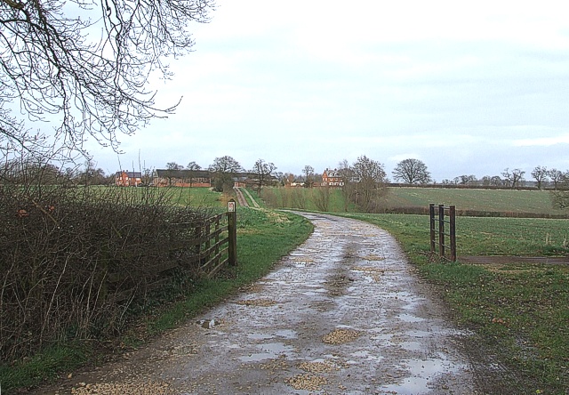
Image: © Rob Farrow Taken: 23 Feb 2007
A general view of Boycott Manor Farm from where its drive leaves Welsh Lane. For a closer view of the farmhouse see Image]
Images are licensed for reuse under creativecommons.org/licenses/by-sa/2.0
Image Location
Latitude
52.032842
Longitude
-1.044582