Flooded road
Introduction
The photograph on this page of Flooded road by Peter Pearson as part of the Geograph project.
The Geograph project started in 2005 with the aim of publishing, organising and preserving representative images for every square kilometre of Great Britain, Ireland and the Isle of Man.

There are currently over 7.5m images from over 14,400 individuals and you can help contribute to the project by visiting https://www.geograph.org.uk
Flooded road
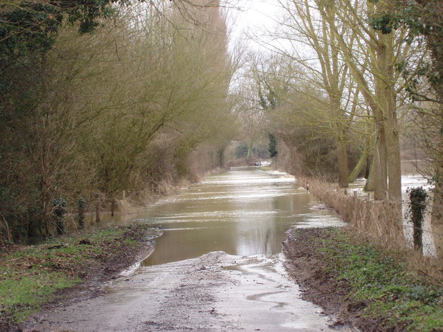
Image: © Peter Pearson Taken: 11 Feb 2009
A view from the bridge at Mill Hill, Wormingford,Essex, over the flooding caused as the River Stour burst it banks after snow melt.
Images are licensed for reuse under creativecommons.org/licenses/by-sa/2.0
Image Location
Latitude
51.961795
Longitude
0.811366