Welsh Lane, near the Boycotts
Introduction
The photograph on this page of Welsh Lane, near the Boycotts by Rob Farrow as part of the Geograph project.
The Geograph project started in 2005 with the aim of publishing, organising and preserving representative images for every square kilometre of Great Britain, Ireland and the Isle of Man.

There are currently over 7.5m images from over 14,400 individuals and you can help contribute to the project by visiting https://www.geograph.org.uk
Welsh Lane, near the Boycotts
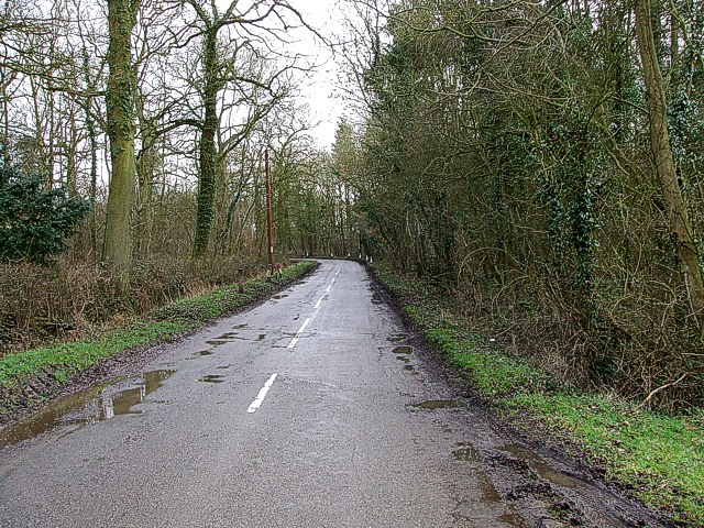
Image: © Rob Farrow Taken: 23 Feb 2007
There are various houses and farms in this area with the name "Boycott" hence the title of this picture. A fairly typical country road through wooded farmland. Welsh Lane Farm is tucked away in the wood to the right.
Images are licensed for reuse under creativecommons.org/licenses/by-sa/2.0
Image Location
Latitude
52.025298
Longitude
-1.045617