B2089 northwest of Cock Marling
Introduction
The photograph on this page of B2089 northwest of Cock Marling by Stuart Logan as part of the Geograph project.
The Geograph project started in 2005 with the aim of publishing, organising and preserving representative images for every square kilometre of Great Britain, Ireland and the Isle of Man.

There are currently over 7.5m images from over 14,400 individuals and you can help contribute to the project by visiting https://www.geograph.org.uk
B2089 northwest of Cock Marling
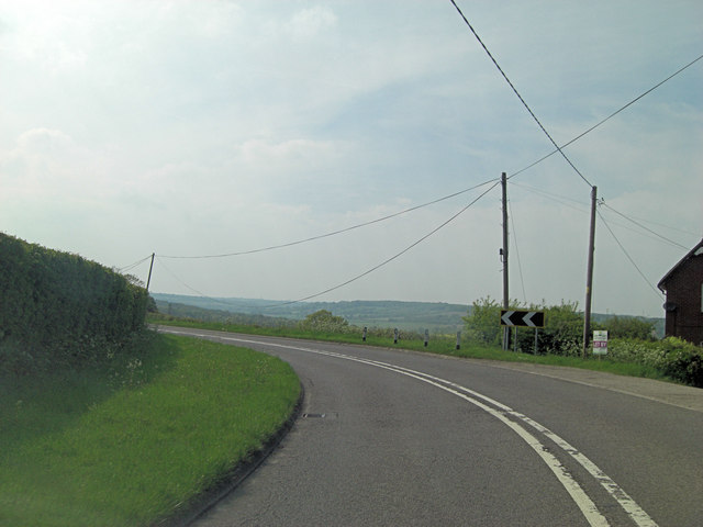
Image: © Stuart Logan Taken: 19 May 2013
For aficinados of utility service wires and poles this must be a prime site.
Images are licensed for reuse under creativecommons.org/licenses/by-sa/2.0
Image Location
Latitude
50.938844
Longitude
0.676591