Old House Lane
Introduction
The photograph on this page of Old House Lane by Robin Stott as part of the Geograph project.
The Geograph project started in 2005 with the aim of publishing, organising and preserving representative images for every square kilometre of Great Britain, Ireland and the Isle of Man.

There are currently over 7.5m images from over 14,400 individuals and you can help contribute to the project by visiting https://www.geograph.org.uk
Old House Lane
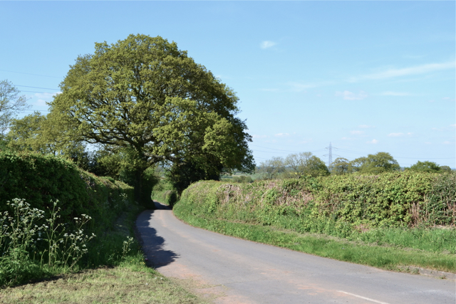
Image: © Robin Stott Taken: 26 May 2013
Old House Lane winds north between hedges and hedgerow oaks to Corley Ash.
Images are licensed for reuse under creativecommons.org/licenses/by-sa/2.0
Image Location
Latitude
52.465032
Longitude
-1.567655