Southwell, NG25, Notts.
Introduction
The photograph on this page of Southwell, NG25, Notts. by David Hallam-Jones as part of the Geograph project.
The Geograph project started in 2005 with the aim of publishing, organising and preserving representative images for every square kilometre of Great Britain, Ireland and the Isle of Man.

There are currently over 7.5m images from over 14,400 individuals and you can help contribute to the project by visiting https://www.geograph.org.uk
Southwell, NG25, Notts.
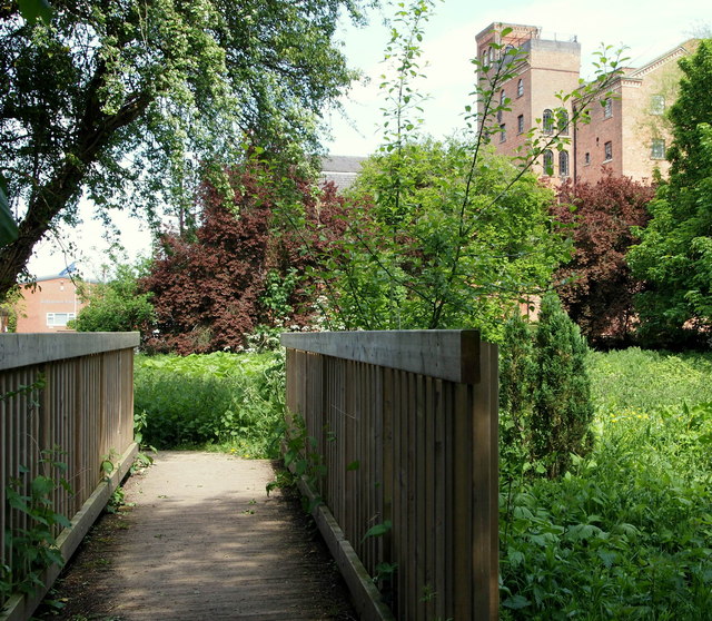
Image: © David Hallam-Jones Taken: 25 May 2013
The former Cauldwell's Mill is seen here on the other side of the Station Road/Normanton Road continuation, near to the end of the Southwell (former railway) Trail. This is one end of a riverside walk that passes through the Southwell Community Orchard 5 minutes walk away behind the photographer.
Images are licensed for reuse under creativecommons.org/licenses/by-sa/2.0
Image Location
Latitude
53.081881
Longitude
-0.945981