Insworke Barton
Introduction
The photograph on this page of Insworke Barton by BB as part of the Geograph project.
The Geograph project started in 2005 with the aim of publishing, organising and preserving representative images for every square kilometre of Great Britain, Ireland and the Isle of Man.

There are currently over 7.5m images from over 14,400 individuals and you can help contribute to the project by visiting https://www.geograph.org.uk
Insworke Barton
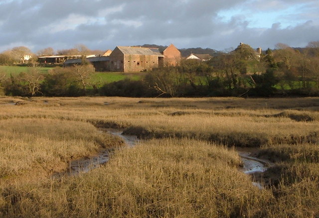
Image: © BB Taken: 25 Feb 2007
View across head of estuary to buildings marked on area of map called, Insworke Barton'.
Images are licensed for reuse under creativecommons.org/licenses/by-sa/2.0
Image Location
Latitude
50.354649
Longitude
-4.209054