Field in Sem valley
Introduction
The photograph on this page of Field in Sem valley by Derek Harper as part of the Geograph project.
The Geograph project started in 2005 with the aim of publishing, organising and preserving representative images for every square kilometre of Great Britain, Ireland and the Isle of Man.

There are currently over 7.5m images from over 14,400 individuals and you can help contribute to the project by visiting https://www.geograph.org.uk
Field in Sem valley
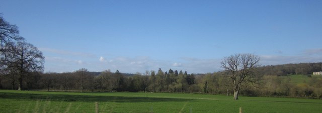
Image: © Derek Harper Taken: 29 Apr 2013
A park-like field south of Billhay Bridge. The tall trees visible in the centre are along the drive to Pythouse, visible at extreme right (Image). From a train on the railway line between Gillingham and Tisbury.
Images are licensed for reuse under creativecommons.org/licenses/by-sa/2.0
Image Location


Leaflet Map data © OpenStreetMap
Latitude
51.049454
Longitude
-2.148315