Maythorne, Southwell, Notts.
Introduction
The photograph on this page of Maythorne, Southwell, Notts. by David Hallam-Jones as part of the Geograph project.
The Geograph project started in 2005 with the aim of publishing, organising and preserving representative images for every square kilometre of Great Britain, Ireland and the Isle of Man.

There are currently over 7.5m images from over 14,400 individuals and you can help contribute to the project by visiting https://www.geograph.org.uk
Maythorne, Southwell, Notts.
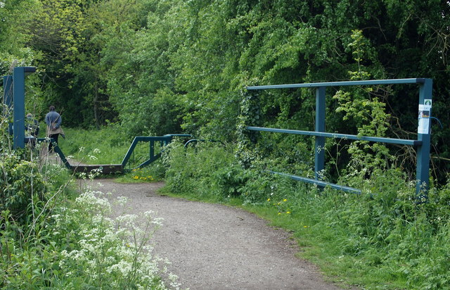
Image: © David Hallam-Jones Taken: 25 May 2013
A footbridge that carries ramblers, horse riders and cyclists over a ditch adjacent to the Maythorne Lane access point onto the Southwell Trail, i.e. the trail that follows the railway track bed along the former train route between Farnsfield and Rolleston Junction. Users heading going in this direction would be heading towards Southwell.
Images are licensed for reuse under creativecommons.org/licenses/by-sa/2.0
Image Location
Latitude
53.091024
Longitude
-0.963378