Craiglockhart Dell east grotto
Introduction
The photograph on this page of Craiglockhart Dell east grotto by kim traynor as part of the Geograph project.
The Geograph project started in 2005 with the aim of publishing, organising and preserving representative images for every square kilometre of Great Britain, Ireland and the Isle of Man.

There are currently over 7.5m images from over 14,400 individuals and you can help contribute to the project by visiting https://www.geograph.org.uk
Craiglockhart Dell east grotto
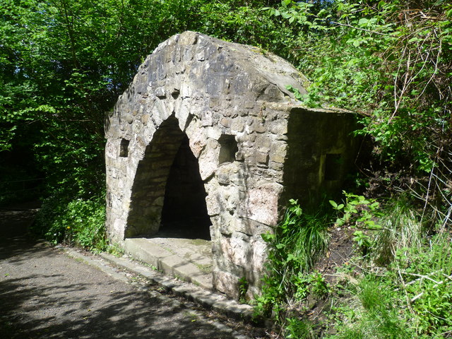
Image: © kim traynor Taken: 22 May 2013
One of two rustic grottos built c.1756 on the former grounds of Craiglockhart House.
Images are licensed for reuse under creativecommons.org/licenses/by-sa/2.0
Image Location
Latitude
55.919808
Longitude
-3.248357