Bugs Bottom
Introduction
The photograph on this page of Bugs Bottom by Graham Horn as part of the Geograph project.
The Geograph project started in 2005 with the aim of publishing, organising and preserving representative images for every square kilometre of Great Britain, Ireland and the Isle of Man.

There are currently over 7.5m images from over 14,400 individuals and you can help contribute to the project by visiting https://www.geograph.org.uk
Bugs Bottom
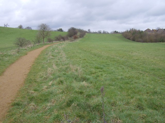
Image: © Graham Horn Taken: 24 Feb 2007
The finger of green that was saved from development and is still a popular green space (despite the fact that no people appear in this photo!) Bugs Bottom is the local name, officially sanctioned, although it appears as Hemdean Bottom on most maps.
Images are licensed for reuse under creativecommons.org/licenses/by-sa/2.0
Image Location
Latitude
51.482494
Longitude
-0.981958