Path to Hemdean Bottom
Introduction
The photograph on this page of Path to Hemdean Bottom by Graham Horn as part of the Geograph project.
The Geograph project started in 2005 with the aim of publishing, organising and preserving representative images for every square kilometre of Great Britain, Ireland and the Isle of Man.

There are currently over 7.5m images from over 14,400 individuals and you can help contribute to the project by visiting https://www.geograph.org.uk
Path to Hemdean Bottom
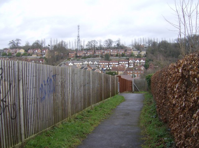
Image: © Graham Horn Taken: 24 Feb 2007
One of the paths dropping down from Caversham Heights towards Hemdean Bottom (aka Bugs Bottom). On the far side it rises again towards Emmer Green The communications mast is in the next square SU7176 in the grounds on Highdown School.
Images are licensed for reuse under creativecommons.org/licenses/by-sa/2.0
Image Location
Latitude
51.479426
Longitude
-0.980731