Lavington's Hole
Introduction
The photograph on this page of Lavington's Hole by John M as part of the Geograph project.
The Geograph project started in 2005 with the aim of publishing, organising and preserving representative images for every square kilometre of Great Britain, Ireland and the Isle of Man.

There are currently over 7.5m images from over 14,400 individuals and you can help contribute to the project by visiting https://www.geograph.org.uk
Lavington's Hole
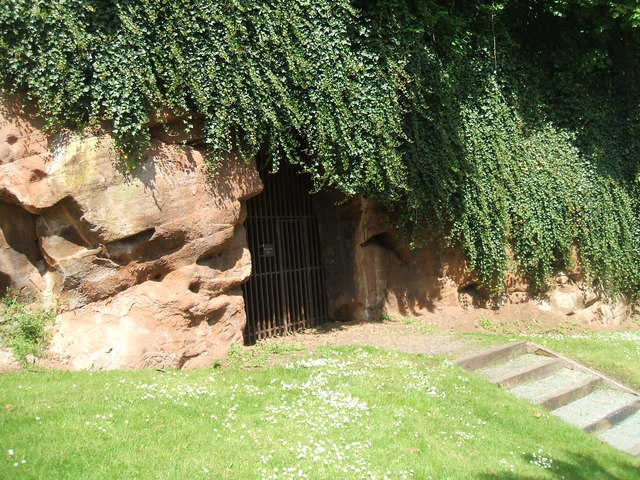
Image: © John M Taken: 25 May 2013
During the Civil War the Royalist defenders of Bridgnorth Castle held out until a tunnel was dug into the sandstone beneath their magazine by Colonel Lavington.
Images are licensed for reuse under creativecommons.org/licenses/by-sa/2.0
Image Location
Latitude
52.532507
Longitude
-2.417883