Southwell NG25, Notts.
Introduction
The photograph on this page of Southwell NG25, Notts. by David Hallam-Jones as part of the Geograph project.
The Geograph project started in 2005 with the aim of publishing, organising and preserving representative images for every square kilometre of Great Britain, Ireland and the Isle of Man.

There are currently over 7.5m images from over 14,400 individuals and you can help contribute to the project by visiting https://www.geograph.org.uk
Southwell NG25, Notts.
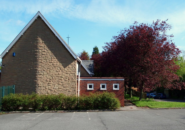
Image: © David Hallam-Jones Taken: 25 May 2013
The top car park of "Our Lady of Victories" Roman Catholic Church, Wolsey Close, off Halam Road. The church's name is a dedication to the Blessed Virgin Mary that also commemorates the Battle at Lepanto. This battle took place on 7 October 1571 when a fleet of the Holy League, a coalition of southern European Catholic maritime states, decisively defeated the main fleet of the Ottoman Empire in five hours of fighting on the northern edge of the Gulf of Corinth, off western Greece. The Ottoman forces sailing westwards from their naval station in Lepanto met the Holy League forces that had come from Messina. This victory curtailed the spread of the Ottoman Empire in this area. Lepanto was the last major naval battle in the Mediterranean to be fought entirely between galleys and has obviously been assigned great symbolic importance.
Images are licensed for reuse under creativecommons.org/licenses/by-sa/2.0
Image Location
Latitude
53.078591
Longitude
-0.960243