Southern end of Prince Charles Road, Worksop
Introduction
The photograph on this page of Southern end of Prince Charles Road, Worksop by Richard Vince as part of the Geograph project.
The Geograph project started in 2005 with the aim of publishing, organising and preserving representative images for every square kilometre of Great Britain, Ireland and the Isle of Man.

There are currently over 7.5m images from over 14,400 individuals and you can help contribute to the project by visiting https://www.geograph.org.uk
Southern end of Prince Charles Road, Worksop
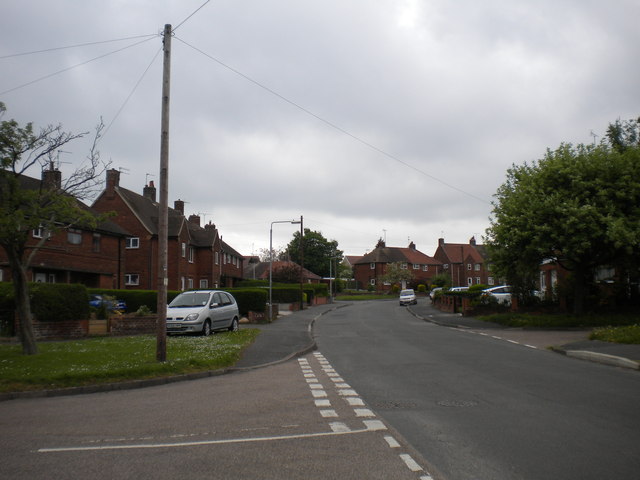
Image: © Richard Vince Taken: 21 May 2013
Prince Charles Road heads west a short distance from Valley Road before turning north for the majority of its length. The bend begins about here, at the junction with Royal Crescent (left foreground).
Images are licensed for reuse under creativecommons.org/licenses/by-sa/2.0
Image Location
Latitude
53.321043
Longitude
-1.130157