A4174 heads east towards Hambrook and Frenchay
Introduction
The photograph on this page of A4174 heads east towards Hambrook and Frenchay by Jaggery as part of the Geograph project.
The Geograph project started in 2005 with the aim of publishing, organising and preserving representative images for every square kilometre of Great Britain, Ireland and the Isle of Man.

There are currently over 7.5m images from over 14,400 individuals and you can help contribute to the project by visiting https://www.geograph.org.uk
A4174 heads east towards Hambrook and Frenchay
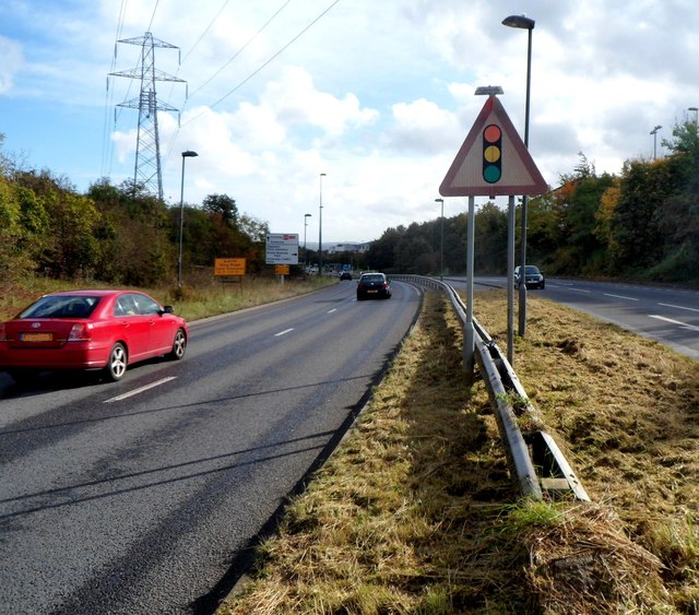
Image: © Jaggery Taken: 18 Oct 2012
Viewed from opposite the north entrance http://www.geograph.org.uk/photo/3474847 to UWE Bristol Frenchay campus.
Images are licensed for reuse under creativecommons.org/licenses/by-sa/2.0
Image Location
Latitude
51.504779
Longitude
-2.548453