Fishing Lakes - Ryton-on-Dunsmore
Introduction
The photograph on this page of Fishing Lakes - Ryton-on-Dunsmore by David Stowell as part of the Geograph project.
The Geograph project started in 2005 with the aim of publishing, organising and preserving representative images for every square kilometre of Great Britain, Ireland and the Isle of Man.

There are currently over 7.5m images from over 14,400 individuals and you can help contribute to the project by visiting https://www.geograph.org.uk
Fishing Lakes - Ryton-on-Dunsmore
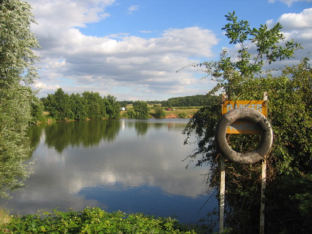
Image: © David Stowell Taken: 7 Aug 2005
This area has been exploited for aggregates resulting in many flooded exhausted workings. This is one of the resulting lakes in the NW corner of the square, now used for fishing.
Images are licensed for reuse under creativecommons.org/licenses/by-sa/2.0
Image Location


Leaflet Map data © OpenStreetMap
Latitude
52.360869
Longitude
-1.427259