East side of The Watermans Arms, Eton
Introduction
The photograph on this page of East side of The Watermans Arms, Eton by Jaggery as part of the Geograph project.
The Geograph project started in 2005 with the aim of publishing, organising and preserving representative images for every square kilometre of Great Britain, Ireland and the Isle of Man.

There are currently over 7.5m images from over 14,400 individuals and you can help contribute to the project by visiting https://www.geograph.org.uk
East side of The Watermans Arms, Eton
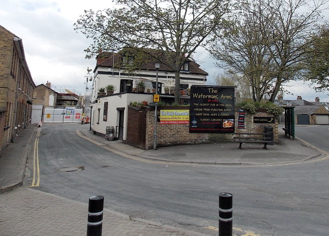
Image: © Jaggery Taken: 27 Apr 2013
Viewed across Brocas Street. The pub's website states that the building dates from 1542. One of its many uses was as a makeshift mortuary in 1665 during the Great Plague. Later it was a watering hole for watermen. The original Waterman's pub was next to a sawmill in nearby King Stable Street at a time when the street housed royal carriages and horses for Windsor Castle. http://www.geograph.org.uk/photo/3474544 to a view of the west side.
Images are licensed for reuse under creativecommons.org/licenses/by-sa/2.0
Image Location
Latitude
51.486138
Longitude
-0.609861