The southern edge of Bulstrode Camp
Introduction
The photograph on this page of The southern edge of Bulstrode Camp by Rod Allday as part of the Geograph project.
The Geograph project started in 2005 with the aim of publishing, organising and preserving representative images for every square kilometre of Great Britain, Ireland and the Isle of Man.

There are currently over 7.5m images from over 14,400 individuals and you can help contribute to the project by visiting https://www.geograph.org.uk
The southern edge of Bulstrode Camp
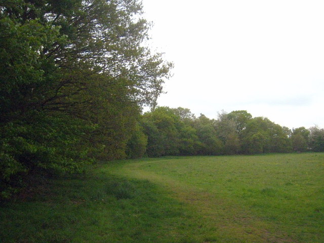
Image: © Rod Allday Taken: 18 May 2013
Bulstrode Camp is a good example of a large multivallate hillfort. It is the largest hill fort in Buckinghamshire, covering an area of 10.67 hectares (26.38 acres).
Images are licensed for reuse under creativecommons.org/licenses/by-sa/2.0
Image Location
Latitude
51.580918
Longitude
-0.565404