St Paul's Church Hall, Rugeley
Introduction
The photograph on this page of St Paul's Church Hall, Rugeley by Richard Law as part of the Geograph project.
The Geograph project started in 2005 with the aim of publishing, organising and preserving representative images for every square kilometre of Great Britain, Ireland and the Isle of Man.

There are currently over 7.5m images from over 14,400 individuals and you can help contribute to the project by visiting https://www.geograph.org.uk
St Paul's Church Hall, Rugeley
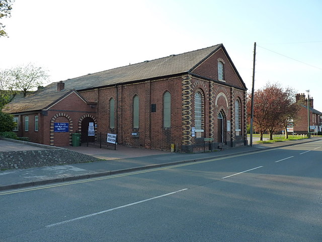
Image: © Richard Law Taken: 2 May 2013
The hall is right opposite the church of the same name on St Paul's Road Image Thursday 2nd May was a local government election day, so the hall was being used as a polling station.
Images are licensed for reuse under creativecommons.org/licenses/by-sa/2.0
Image Location
Latitude
52.75797
Longitude
-1.934167