The Wooleigh Brook.
Introduction
The photograph on this page of The Wooleigh Brook. by Dr Duncan Pepper as part of the Geograph project.
The Geograph project started in 2005 with the aim of publishing, organising and preserving representative images for every square kilometre of Great Britain, Ireland and the Isle of Man.

There are currently over 7.5m images from over 14,400 individuals and you can help contribute to the project by visiting https://www.geograph.org.uk
The Wooleigh Brook.
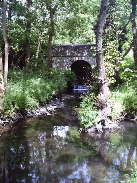
Image: © Dr Duncan Pepper Taken: 1 Jun 2004
Two streams join at Whitsleighdown Cottage, St Giles in the Wood. A peaceful scene beside a quiet Devon lane, rarely used by visitors or locals alike.
Images are licensed for reuse under creativecommons.org/licenses/by-sa/2.0
Image Location


Leaflet Map data © OpenStreetMap
Latitude
50.935568
Longitude
-4.082333