Bulcote NG14, Notts.
Introduction
The photograph on this page of Bulcote NG14, Notts. by David Hallam-Jones as part of the Geograph project.
The Geograph project started in 2005 with the aim of publishing, organising and preserving representative images for every square kilometre of Great Britain, Ireland and the Isle of Man.

There are currently over 7.5m images from over 14,400 individuals and you can help contribute to the project by visiting https://www.geograph.org.uk
Bulcote NG14, Notts.
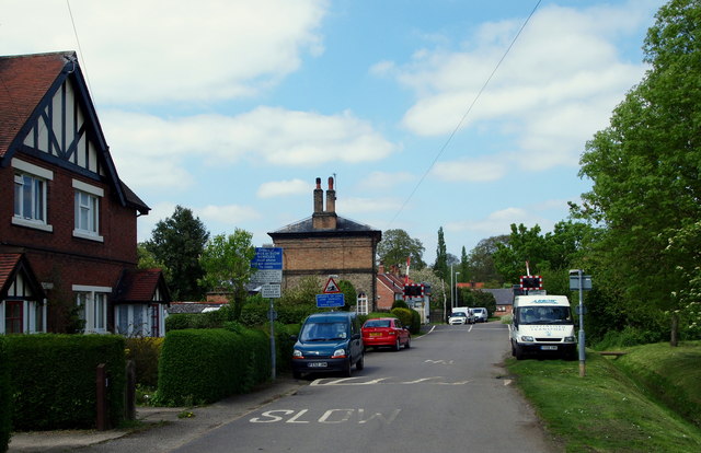
Image: © David Hallam-Jones Taken: 19 May 2013
The first (or last) of the row of Corporation Cottages; a railway crossing; the "Crossing House" and a grassed area through which an exposed drain runs. These semi-detached cottages, of which one is seen here, were built for the use of City Council employees who worked at the former Bulcote sewerage farm behind the photographer. The latter now belongs to the Severn Trent Water Authority and is rented out as an agricultural farm.
Images are licensed for reuse under creativecommons.org/licenses/by-sa/2.0
Image Location
Latitude
52.993332
Longitude
-1.019204