Shadow fencing
Introduction
The photograph on this page of Shadow fencing by Ian Paterson as part of the Geograph project.
The Geograph project started in 2005 with the aim of publishing, organising and preserving representative images for every square kilometre of Great Britain, Ireland and the Isle of Man.

There are currently over 7.5m images from over 14,400 individuals and you can help contribute to the project by visiting https://www.geograph.org.uk
Shadow fencing
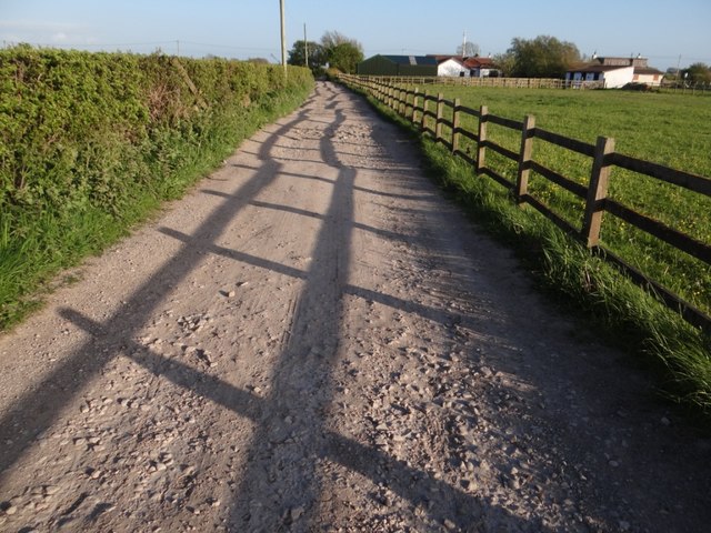
Image: © Ian Paterson Taken: 22 May 2013
Looking south along one of the paths leading from the coastline at Pilling Lane.
Images are licensed for reuse under creativecommons.org/licenses/by-sa/2.0
Image Location


Leaflet Map data © OpenStreetMap
Latitude
53.93755
Longitude
-2.954135