Mount Ballan House
Introduction
The photograph on this page of Mount Ballan House by Ruth Sharville as part of the Geograph project.
The Geograph project started in 2005 with the aim of publishing, organising and preserving representative images for every square kilometre of Great Britain, Ireland and the Isle of Man.

There are currently over 7.5m images from over 14,400 individuals and you can help contribute to the project by visiting https://www.geograph.org.uk
Mount Ballan House
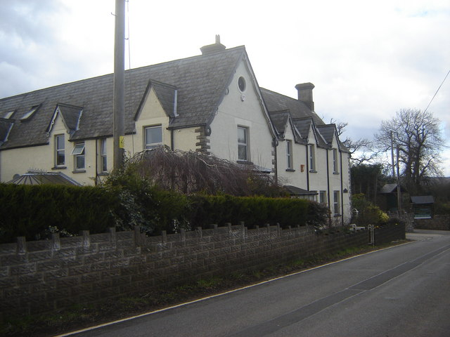
Image: © Ruth Sharville Taken: 25 Feb 2007
One of two imposing buildings in this hamlet, this is now a recreation centre.
Images are licensed for reuse under creativecommons.org/licenses/by-sa/2.0
Image Location
Latitude
51.598431
Longitude
-2.736258