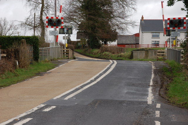
Drumsough level crossing near Antrim
Introduction
The photograph on this page of Drumsough level crossing near Antrim by Albert Bridge as part of the Geograph project.
The Geograph project started in 2005 with the aim of publishing, organising and preserving representative images for every square kilometre of Great Britain, Ireland and the Isle of Man.
There are currently over 7.5m images from over 14,400 individuals and you can help contribute to the project by visiting https://www.geograph.org.uk

Image: © Albert Bridge Taken: 25 Feb 2007
Drumsough is an automatic half-barrier level crossing remotely monitored. It was called “Cookstown Junction” until 1976. The BNCR line to Cookstown opened in 1856 and closed to passengers in 1950. The goods service to Cookstown ended in 1955 but continued to the intermediate station of Magherafelt until 1959. A minor road nearby is still called the “Junction Road”. Belfast is to the right and Londonderry to the left.

