Dan's Castle
Introduction
The photograph on this page of Dan's Castle by Graham Hogg as part of the Geograph project.
The Geograph project started in 2005 with the aim of publishing, organising and preserving representative images for every square kilometre of Great Britain, Ireland and the Isle of Man.

There are currently over 7.5m images from over 14,400 individuals and you can help contribute to the project by visiting https://www.geograph.org.uk
Dan's Castle
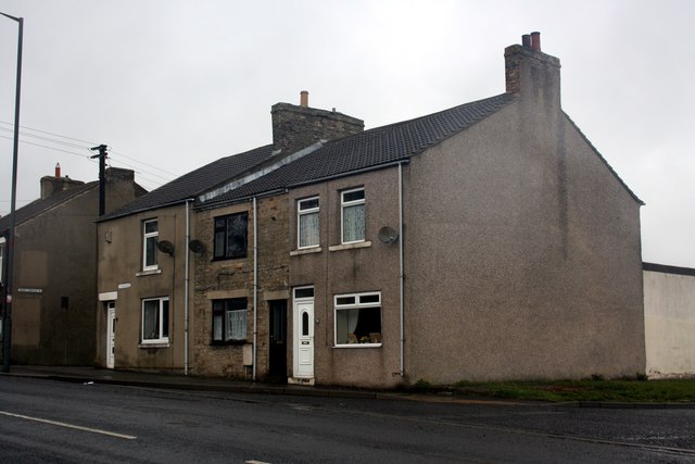
Image: © Graham Hogg Taken: 15 May 2013
A map from 1861 shows a public house of this name here, but it is no longer in evidence.
Images are licensed for reuse under creativecommons.org/licenses/by-sa/2.0
Image Location
Latitude
54.7496
Longitude
-1.818978