Dale Terrace (dated 1891)
Introduction
The photograph on this page of Dale Terrace (dated 1891) by Hugh Mortimer as part of the Geograph project.
The Geograph project started in 2005 with the aim of publishing, organising and preserving representative images for every square kilometre of Great Britain, Ireland and the Isle of Man.

There are currently over 7.5m images from over 14,400 individuals and you can help contribute to the project by visiting https://www.geograph.org.uk
Dale Terrace (dated 1891)
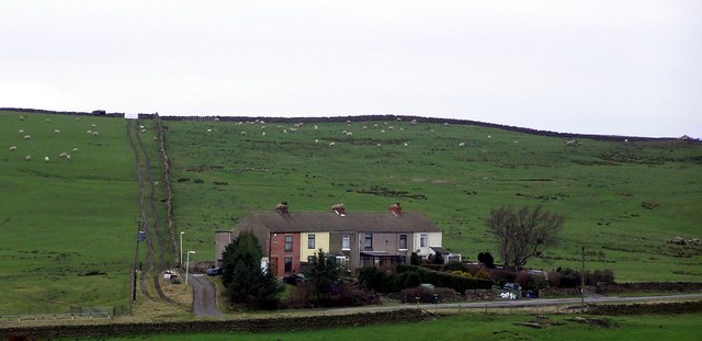
Image: © Hugh Mortimer Taken: 25 Feb 2007
This terrace on the B6282, built for miners and their families, working nearby Woolley Hill & Woodland Collieries.
Images are licensed for reuse under creativecommons.org/licenses/by-sa/2.0
Image Location
Latitude
54.619762
Longitude
-1.920679