Burfoot Leazes
Introduction
The photograph on this page of Burfoot Leazes by Hugh Mortimer as part of the Geograph project.
The Geograph project started in 2005 with the aim of publishing, organising and preserving representative images for every square kilometre of Great Britain, Ireland and the Isle of Man.

There are currently over 7.5m images from over 14,400 individuals and you can help contribute to the project by visiting https://www.geograph.org.uk
Burfoot Leazes
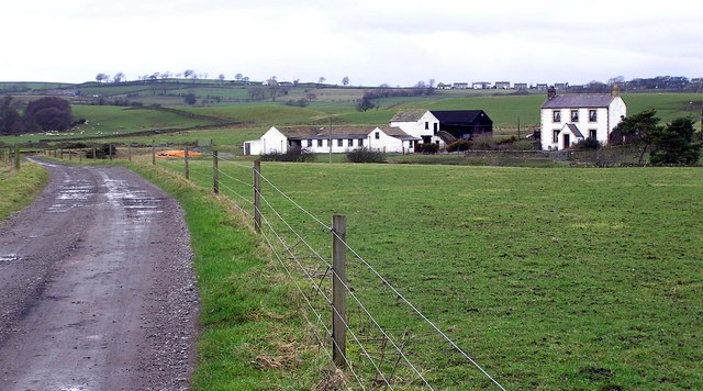
Image: © Hugh Mortimer Taken: 25 Feb 2007
Raby Estates Farm off Steele Road. The West end of Woodland Village on the horizon.
Images are licensed for reuse under creativecommons.org/licenses/by-sa/2.0
Image Location
Latitude
54.617581
Longitude
-1.890022