House at Siadar
Introduction
The photograph on this page of House at Siadar by M J Richardson as part of the Geograph project.
The Geograph project started in 2005 with the aim of publishing, organising and preserving representative images for every square kilometre of Great Britain, Ireland and the Isle of Man.

There are currently over 7.5m images from over 14,400 individuals and you can help contribute to the project by visiting https://www.geograph.org.uk
House at Siadar
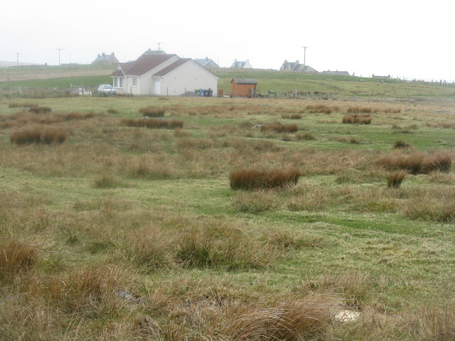
Image: © M J Richardson Taken: 13 May 2013
It appears to be relatively recent, but is on Google Earth 2009 imagery.
Images are licensed for reuse under creativecommons.org/licenses/by-sa/2.0
Image Location
Latitude
58.399405
Longitude
-6.471913