The Donkey Field
Introduction
The photograph on this page of The Donkey Field by David P Howard as part of the Geograph project.
The Geograph project started in 2005 with the aim of publishing, organising and preserving representative images for every square kilometre of Great Britain, Ireland and the Isle of Man.

There are currently over 7.5m images from over 14,400 individuals and you can help contribute to the project by visiting https://www.geograph.org.uk
The Donkey Field
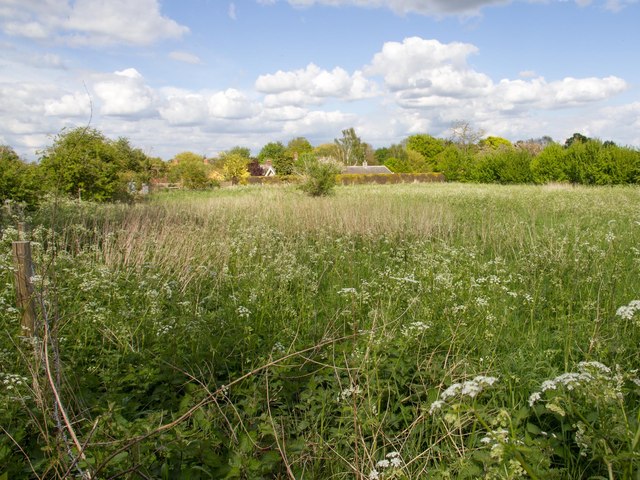
Image: © David P Howard Taken: 15 May 2013
Looking across the field off Lowes Lane that used to contain donkeys, but is now threatened with new housing. Taken from the footpath to Walton Lane.
Images are licensed for reuse under creativecommons.org/licenses/by-sa/2.0
Image Location
Latitude
52.19209
Longitude
-1.593712