Sheep pasture, Webble Green
Introduction
The photograph on this page of Sheep pasture, Webble Green by Derek Harper as part of the Geograph project.
The Geograph project started in 2005 with the aim of publishing, organising and preserving representative images for every square kilometre of Great Britain, Ireland and the Isle of Man.

There are currently over 7.5m images from over 14,400 individuals and you can help contribute to the project by visiting https://www.geograph.org.uk
Sheep pasture, Webble Green
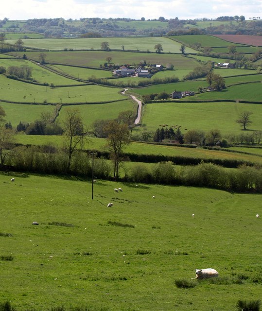
Image: © Derek Harper Taken: 16 May 2013
Just the first 160 metres of this view are in square. Fields beyond drop into the Yarty valley. At upper centre is Trimshayes Farm with, to its left, the stretch of steep lane shown in Image]
Images are licensed for reuse under creativecommons.org/licenses/by-sa/2.0
Image Location
Latitude
50.844995
Longitude
-3.052013