Crossroads in Warlaby
Introduction
The photograph on this page of Crossroads in Warlaby by Roger Templeman as part of the Geograph project.
The Geograph project started in 2005 with the aim of publishing, organising and preserving representative images for every square kilometre of Great Britain, Ireland and the Isle of Man.

There are currently over 7.5m images from over 14,400 individuals and you can help contribute to the project by visiting https://www.geograph.org.uk
Crossroads in Warlaby
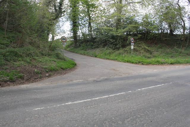
Image: © Roger Templeman Taken: 6 May 2013
The minor road goes to Ainderby Steeple. There is a boulder with an OS benchmark Image by the roadside near the left hand side of the image
Images are licensed for reuse under creativecommons.org/licenses/by-sa/2.0
Image Location
Latitude
54.31745
Longitude
-1.464851