Bridleway junction in Chetwynd's Coppice
Introduction
The photograph on this page of Bridleway junction in Chetwynd's Coppice by Richard Law as part of the Geograph project.
The Geograph project started in 2005 with the aim of publishing, organising and preserving representative images for every square kilometre of Great Britain, Ireland and the Isle of Man.

There are currently over 7.5m images from over 14,400 individuals and you can help contribute to the project by visiting https://www.geograph.org.uk
Bridleway junction in Chetwynd's Coppice
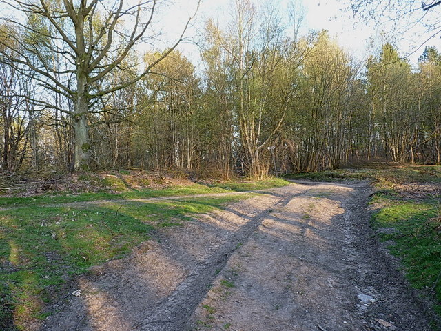
Image: © Richard Law Taken: 2 May 2013
The woods are criss-crossed by a network of paths, tracks and bridleways, used by walkers, cyclists and motocrossers.
Images are licensed for reuse under creativecommons.org/licenses/by-sa/2.0
Image Location
Latitude
52.739902
Longitude
-1.935527