Old Spot Public House
Introduction
The photograph on this page of Old Spot Public House by Tom Courtney as part of the Geograph project.
The Geograph project started in 2005 with the aim of publishing, organising and preserving representative images for every square kilometre of Great Britain, Ireland and the Isle of Man.

There are currently over 7.5m images from over 14,400 individuals and you can help contribute to the project by visiting https://www.geograph.org.uk
Old Spot Public House
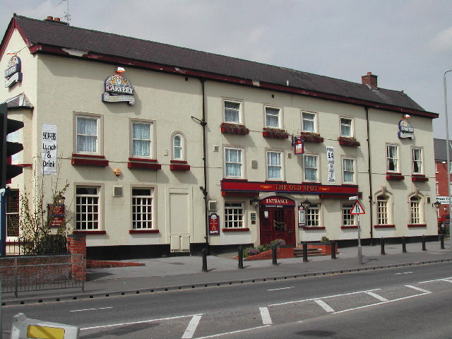
Image: © Tom Courtney Taken: 14 Apr 2004
On the Mansfield Road at Daybrook
Images are licensed for reuse under creativecommons.org/licenses/by-sa/2.0
Image Location
Latitude
53.003739
Longitude
-1.144594