Access to The Hollies from the A20
Introduction
The photograph on this page of Access to The Hollies from the A20 by John Baker as part of the Geograph project.
The Geograph project started in 2005 with the aim of publishing, organising and preserving representative images for every square kilometre of Great Britain, Ireland and the Isle of Man.

There are currently over 7.5m images from over 14,400 individuals and you can help contribute to the project by visiting https://www.geograph.org.uk
Access to The Hollies from the A20
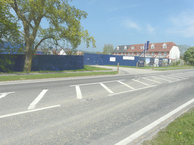
Image: © John Baker Taken: 19 May 2013
According to Maidstone Borough Council's website under planning application 11/0592 The Hollies will comprise of 80 dwellings (including 40% affordable homes) and an area of public open space. There is also access from West Street.
Images are licensed for reuse under creativecommons.org/licenses/by-sa/2.0
Image Location
Latitude
51.242177
Longitude
0.666514