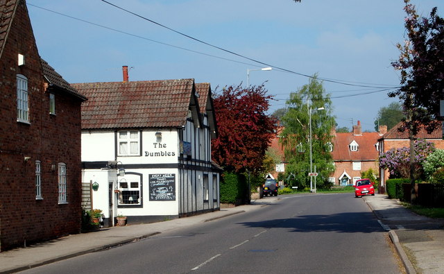
Westhorpe, Southwall NG25, Notts.
Introduction
The photograph on this page of Westhorpe, Southwall NG25, Notts. by David Hallam-Jones as part of the Geograph project.
The Geograph project started in 2005 with the aim of publishing, organising and preserving representative images for every square kilometre of Great Britain, Ireland and the Isle of Man.
There are currently over 7.5m images from over 14,400 individuals and you can help contribute to the project by visiting https://www.geograph.org.uk

Image: © David Hallam-Jones Taken: 19 May 2013
The local boundary between Southwell and the suburb of Westhorpe is just behind the photographer. Around the bend ahead is a crossroads formed by the convergence of four roads, although three of them are 'local' streets rather than main roads. The area at the centre of the crossroads was the former Market Place. "The Dumbles" public house was "The Lord Nelson" in a former life. Vehicles on this, "the Oxton Road" (the B6386), can opt to join the A6097 (the Epperstone By-Pass) a few miles further on.

