Site of The Malthouse, Lower Turk Street
Introduction
The photograph on this page of Site of The Malthouse, Lower Turk Street by Oast House Archive as part of the Geograph project.
The Geograph project started in 2005 with the aim of publishing, organising and preserving representative images for every square kilometre of Great Britain, Ireland and the Isle of Man.

There are currently over 7.5m images from over 14,400 individuals and you can help contribute to the project by visiting https://www.geograph.org.uk
Site of The Malthouse, Lower Turk Street
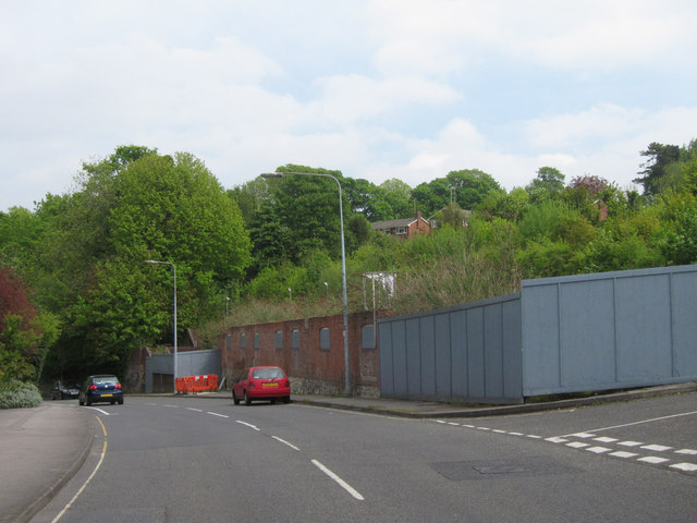
Image: © Oast House Archive Taken: 19 May 2013
Just the lower wall remains of a two kiln malthouse, which has been demolished sometime since 2008.
Images are licensed for reuse under creativecommons.org/licenses/by-sa/2.0
Image Location
Latitude
51.147281
Longitude
-0.972908