Southwell NG25, Notts.
Introduction
The photograph on this page of Southwell NG25, Notts. by David Hallam-Jones as part of the Geograph project.
The Geograph project started in 2005 with the aim of publishing, organising and preserving representative images for every square kilometre of Great Britain, Ireland and the Isle of Man.

There are currently over 7.5m images from over 14,400 individuals and you can help contribute to the project by visiting https://www.geograph.org.uk
Southwell NG25, Notts.
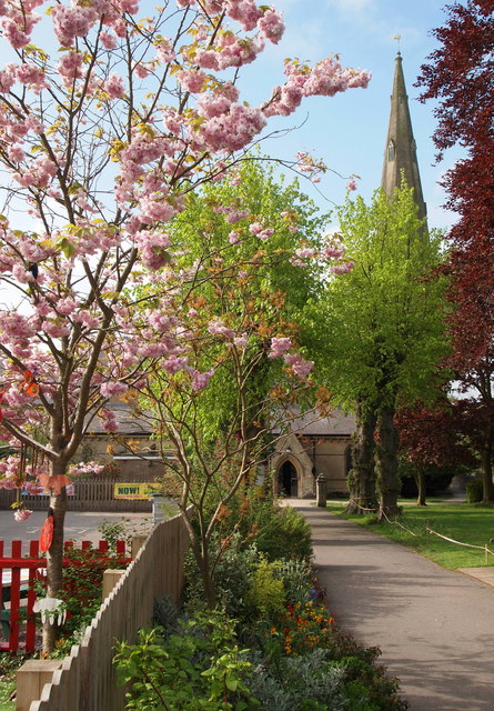
Image: © David Hallam-Jones Taken: 19 May 2013
Holy Trinity church at the end of a footpath that begins on Westgate, immediately behind the photographer. Westgate being the principal road between the centre of Southwell and the suburb of Westhorpe. The boundary fence on the left encloses the playground of Holy Trinity Church of England Infants' School.
Images are licensed for reuse under creativecommons.org/licenses/by-sa/2.0
Image Location
Latitude
53.074645
Longitude
-0.961383