Southwell NG25, Notts.
Introduction
The photograph on this page of Southwell NG25, Notts. by David Hallam-Jones as part of the Geograph project.
The Geograph project started in 2005 with the aim of publishing, organising and preserving representative images for every square kilometre of Great Britain, Ireland and the Isle of Man.

There are currently over 7.5m images from over 14,400 individuals and you can help contribute to the project by visiting https://www.geograph.org.uk
Southwell NG25, Notts.
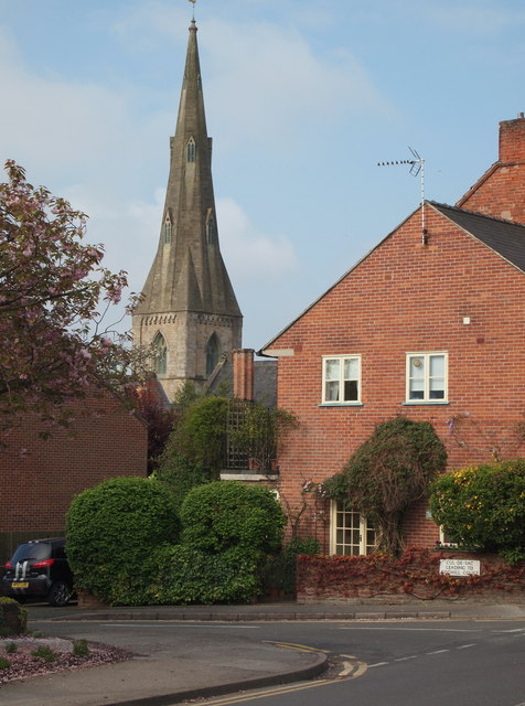
Image: © David Hallam-Jones Taken: 19 May 2013
Holy Trinity Church seen from Westgate. This side road - a cul-de-sac - and the residential accommodation for elderly people that occupies the corner site, are both known as Coghill Court. They were named after Canon E.A. Coghill (1890-1941). It was the Rev. Coghill who finally abolished pew rents in 1907, making the church "free and open".
Images are licensed for reuse under creativecommons.org/licenses/by-sa/2.0
Image Location
Latitude
53.074729
Longitude
-0.960634