Former Bethel chapel, Penygroes
Introduction
The photograph on this page of Former Bethel chapel, Penygroes by Jaggery as part of the Geograph project.
The Geograph project started in 2005 with the aim of publishing, organising and preserving representative images for every square kilometre of Great Britain, Ireland and the Isle of Man.

There are currently over 7.5m images from over 14,400 individuals and you can help contribute to the project by visiting https://www.geograph.org.uk
Former Bethel chapel, Penygroes
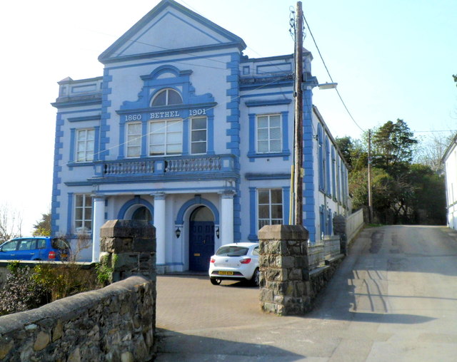
Image: © Jaggery Taken: 24 Mar 2012
Now in residential use, the former Methodist chapel is located in Cae Capel Bach on the west side of High Street. The two years on the facade, 1860 and 1901, are probably the dates of the original chapel and its rebuild. The building which formerly housed the Sunday School and vestry is opposite. http://www.geograph.org.uk/photo/3467886
Images are licensed for reuse under creativecommons.org/licenses/by-sa/2.0
Image Location
Latitude
53.055984
Longitude
-4.284182