Shire End House
Introduction
The photograph on this page of Shire End House by Alfred Fyfe as part of the Geograph project.
The Geograph project started in 2005 with the aim of publishing, organising and preserving representative images for every square kilometre of Great Britain, Ireland and the Isle of Man.

There are currently over 7.5m images from over 14,400 individuals and you can help contribute to the project by visiting https://www.geograph.org.uk
Shire End House
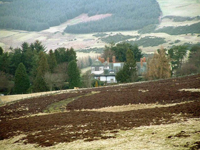
Image: © Alfred Fyfe Taken: 16 Feb 2007
Shire End House Image amongst shelter belts of trees. Looking North from lower slope of Carleith Hill
Images are licensed for reuse under creativecommons.org/licenses/by-sa/2.0
Image Location
Latitude
56.268427
Longitude
-3.462822