Loch Branahuie at Mealabost
Introduction
The photograph on this page of Loch Branahuie at Mealabost by M J Richardson as part of the Geograph project.
The Geograph project started in 2005 with the aim of publishing, organising and preserving representative images for every square kilometre of Great Britain, Ireland and the Isle of Man.

There are currently over 7.5m images from over 14,400 individuals and you can help contribute to the project by visiting https://www.geograph.org.uk
Loch Branahuie at Mealabost
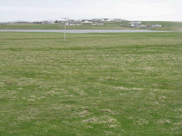
Image: © M J Richardson Taken: 12 May 2013
Looking from the road across the causeway. On the OS 1:50000 map this loch is named as Loch Branahuie, and the sea loch to the south of the causeway is called Loch Bràigh na h-Aoidhe, but on larger scale maps it is called Loch Bràigh na h-Aoidhe, and the sea loch is unnamed - Branahuie and Bràigh na h-Aoidhe could be synonymous?
Images are licensed for reuse under creativecommons.org/licenses/by-sa/2.0
Image Location
Latitude
58.207615
Longitude
-6.30342